When you click on links to various merchants on this site and make a purchase, this can result in this site earning a commission. Affiliate programs and affiliations include, but are not limited to, the eBay Partner Network.
Whsmith.co.uk

Cicerone Press North Downs Way Map Booklet

Whsmith.co.uk

Cicerone Press North Downs Way Map Booklet

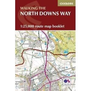
A booklet of all the mapping needed to complete the North Downs Way National Trail between the high downland of Farnham, Hampshire and Dover on the Kent coast.Covering 208km (130 miles), this gentle trail takes around 11 days to walk and is an ideal first long-distance hike for beginners. The full route line is shown on 1:25,000 OS mapsThe map booklet can be used to walk the trail in either directionSized to easily fit in a jacket pocketThe relevant extract from the OS Explorer map legend is included3-stage route detour via Canterbury is also providedAn accompanying Cicerone guid – Walking the North Downs Way – is also available, which includes a copy of this map booklet

from £9.15
Seller: Whsmith.co.uk

Latest products

By Continuing to use this site you confirm, your consent to us and our partners collecting data from you, using cookies to serve personalised ads, tailoring content to you and optimising the site itself. You can learn more about the collection and use of your data and to change your preferences at any time by seeing our Privacy Policy and Cookie Policy.
Accept